A while back, I wrote about North Table Mountain Open Space Park, which is one of the places that give Golden its distinctive geographical character. The other is its twin, South Table Mountain, which is probably my favorite of the two.
A true locals' hike
Why? Because it could almost be considered a locals’ secret. Unlike North Table, there isn’t any large parking lot at its several trailheads. Nearly all of them are on residential streets, so anyone going on them is likely to be someone who lives nearby. Being in those kinds of neighborhoods also means only a few visitors can park there.
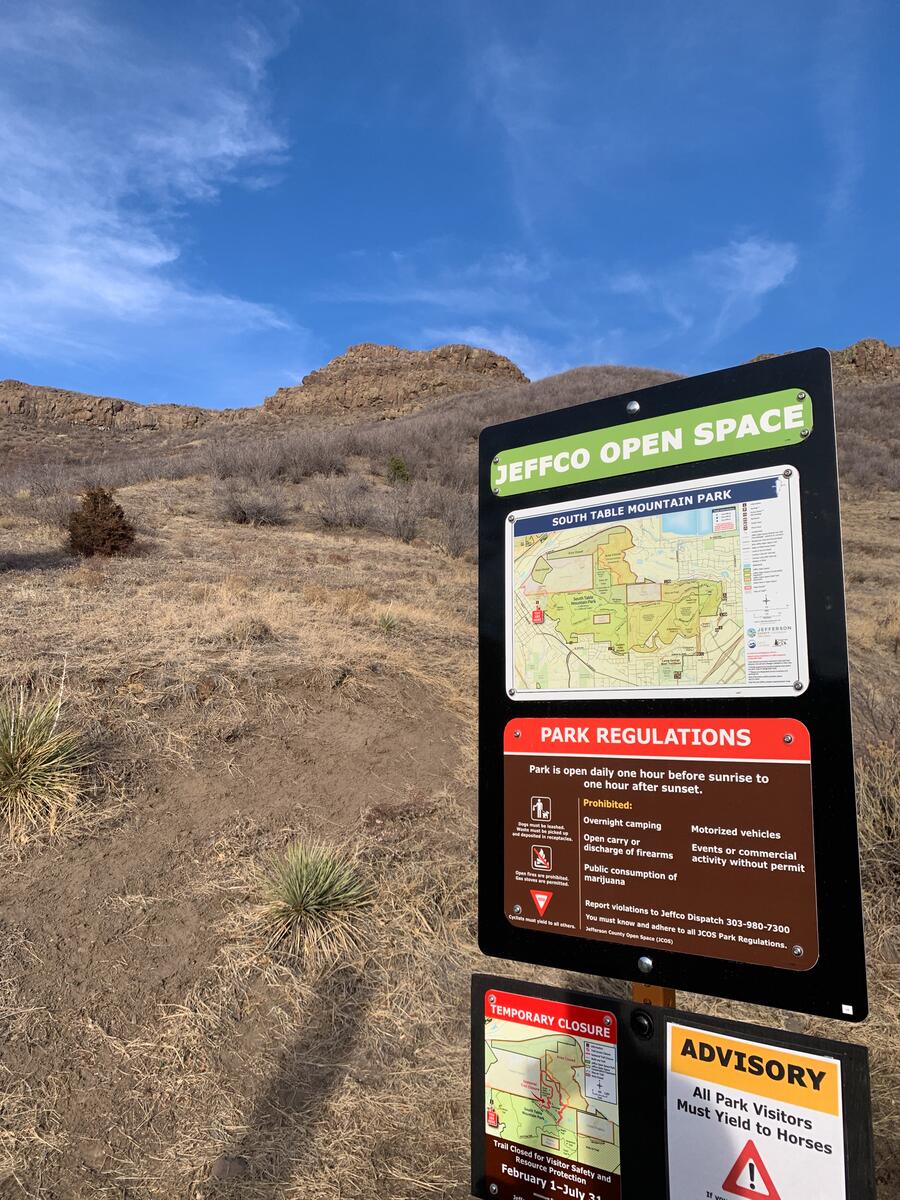
Another reason why South Table is less crowded is the presence of the National Renewable Energy Lab (NREL), an agency of the federal government. It’s also the training grounds for the Colorado State Police. For those reasons, a good share of the land on the south side is restricted and shut off to the public, with plenty of US Government – Do Not Enter signs. While it looks intimidating, it’s more a scare tactic than an actual reason to fear trespassing and subsequent arrest.
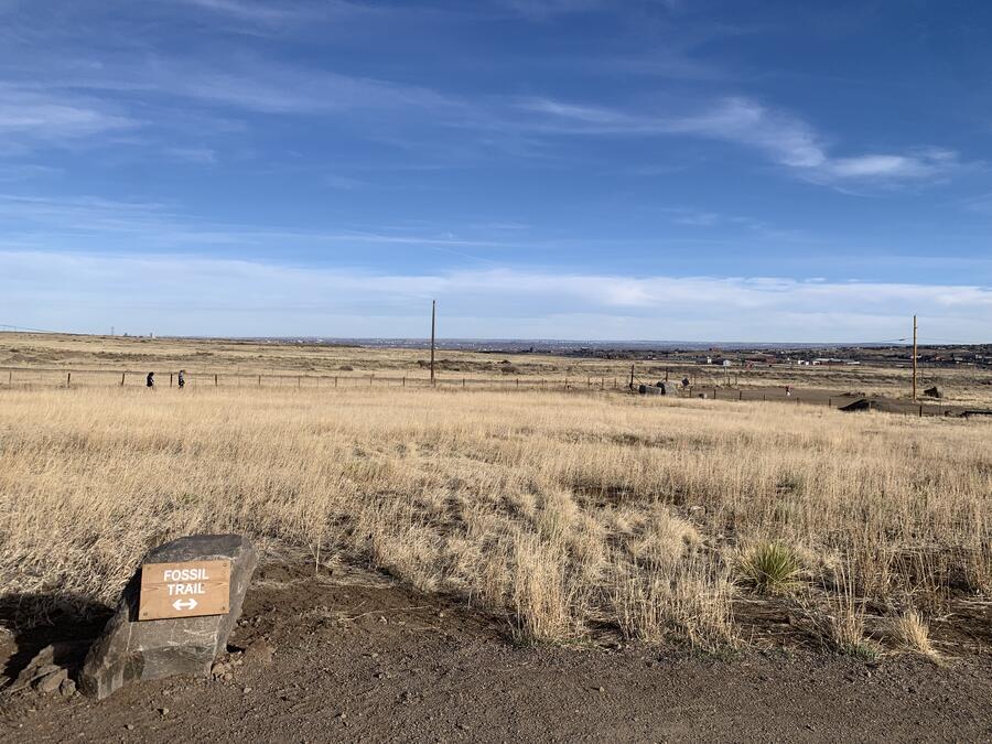
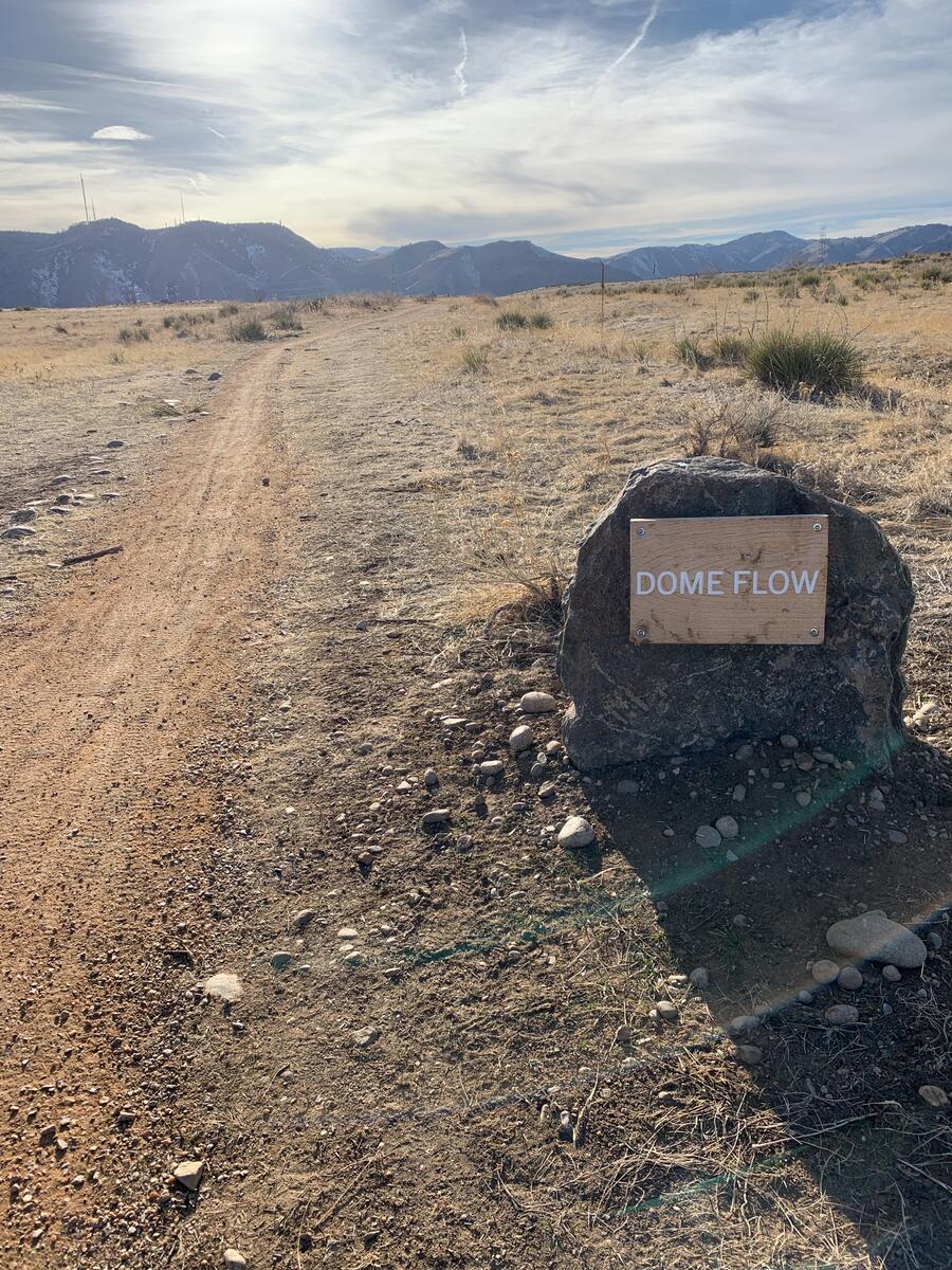
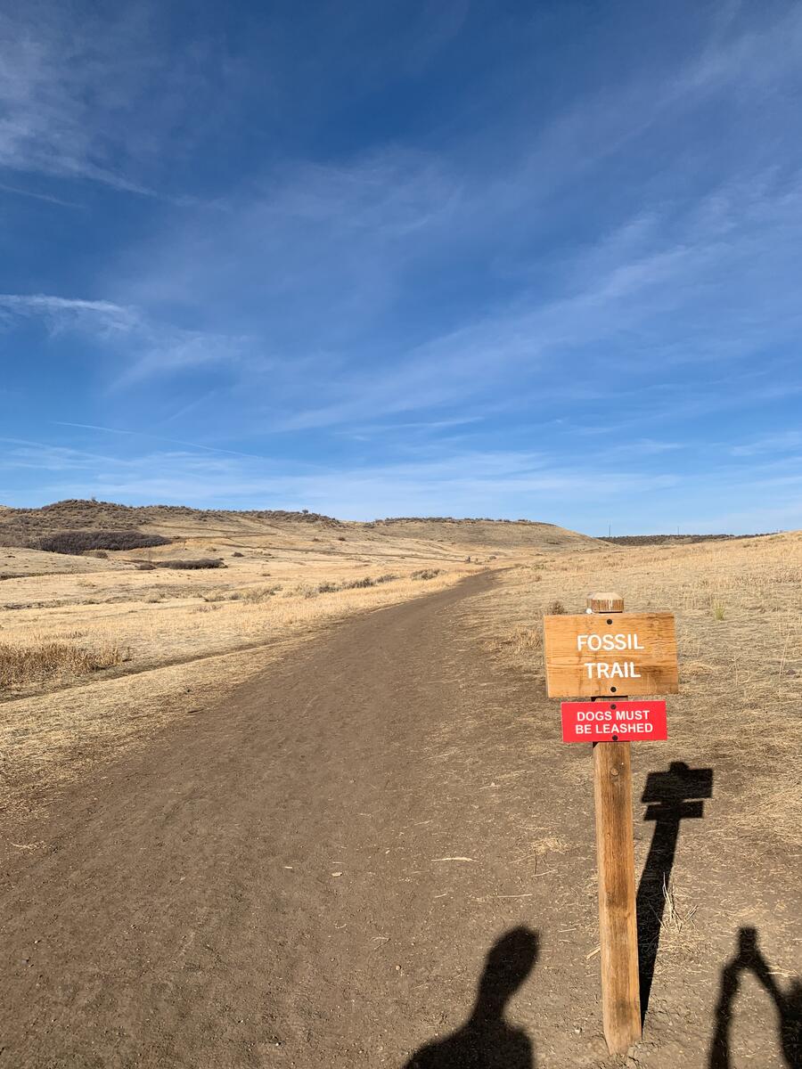
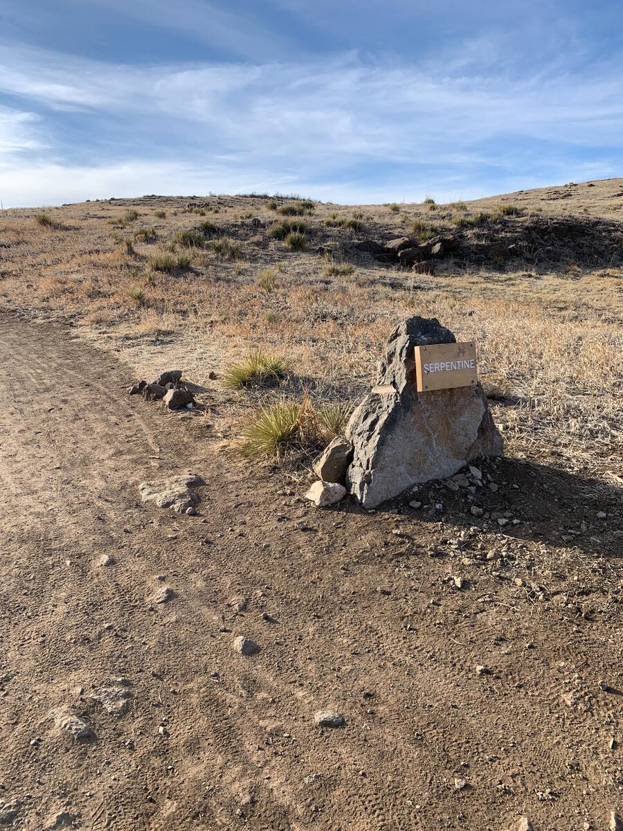
One recent and welcome development with South Table is the naming of trails. Before, they didn't have any, and so it was easy to be confused or get lost, especially if you went off the main path. Many of the names nod to geological formations and paleontological finds so common in our area.

But it helps that just about every trail is labeled now, even if they aren't open, like the one above.
I have three different trailheads that I head to on South Table, along with highlights of the trails, and I’ll share them with you here:
The Golden Hills Road entrance
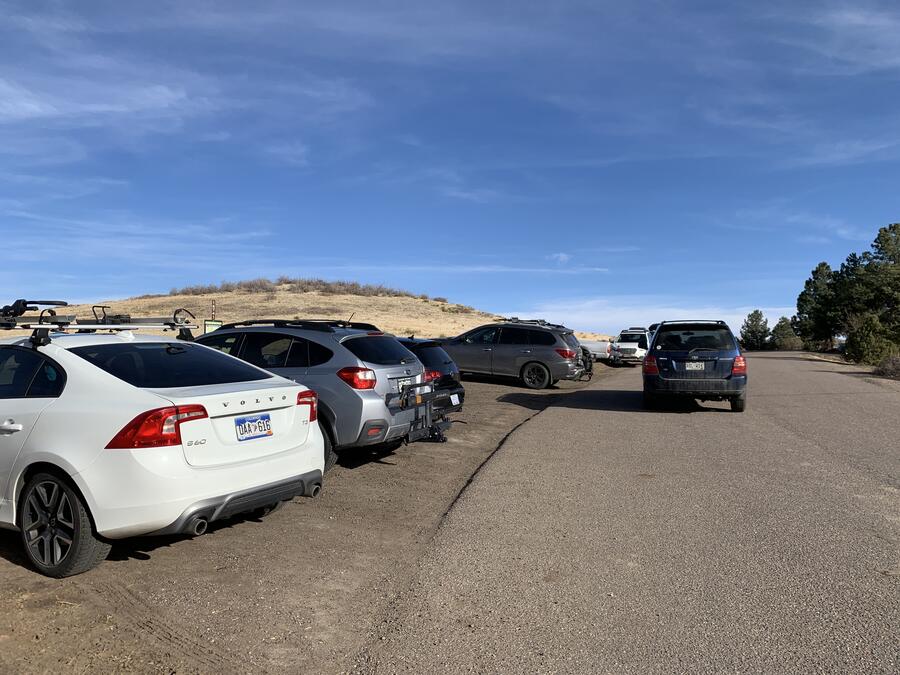
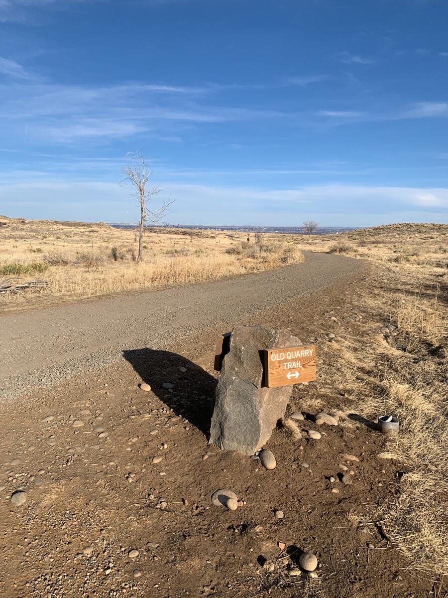
This one is probably the easiest to access, and there is an actual dirt parking area to drive to. At one time, this trail head had a smooth track for about one-quarter of a mile, But then it became a steep upward climb with plenty of ankle-twister trenches and rocks ripe for tripping. With some improvements made a few years ago, the newly christened Fossil Trail now switchbacks over the hill and circles around before reaching flatter terrain - not the top plateau, just yet.
Once you get to a fork, you can either go to that top on the newly created Serpentine Trail, or take a more even roundabout way which will eventually get you to the access road. Interestingly, there is another dirt parking lot here, but no one does because of the restricted access. Go left on the trail instead, and you’ll meet up with the Fossil Trail that bisects the mesa. You’ll then be on a wide trail that goes west over sloping brush that eventually takes you to the mesa, Castle Rock.
The 19th Street entrance
We have friends who live one block from this entrance, which is actually two. The one closest to our friends’ house is at the dead end of 19th Street. Here you will have to park on one of the neighborhood’s streets but be mindful of other cars parked there and follow basic rules.
The trail here is single-track and much narrower than the Golden Hills trail. It’s also a great deal steeper, but the payoff is that you’ll get fantastic views of the town below and the beginning of the Rockies, right across the way. Even with its more challenging gradient, the trail traverses well enough that it’s doable for the majority of people in reasonably fit condition. Just be careful of your footing – I once slipped on a rock that seemed to be secure but wasn’t.
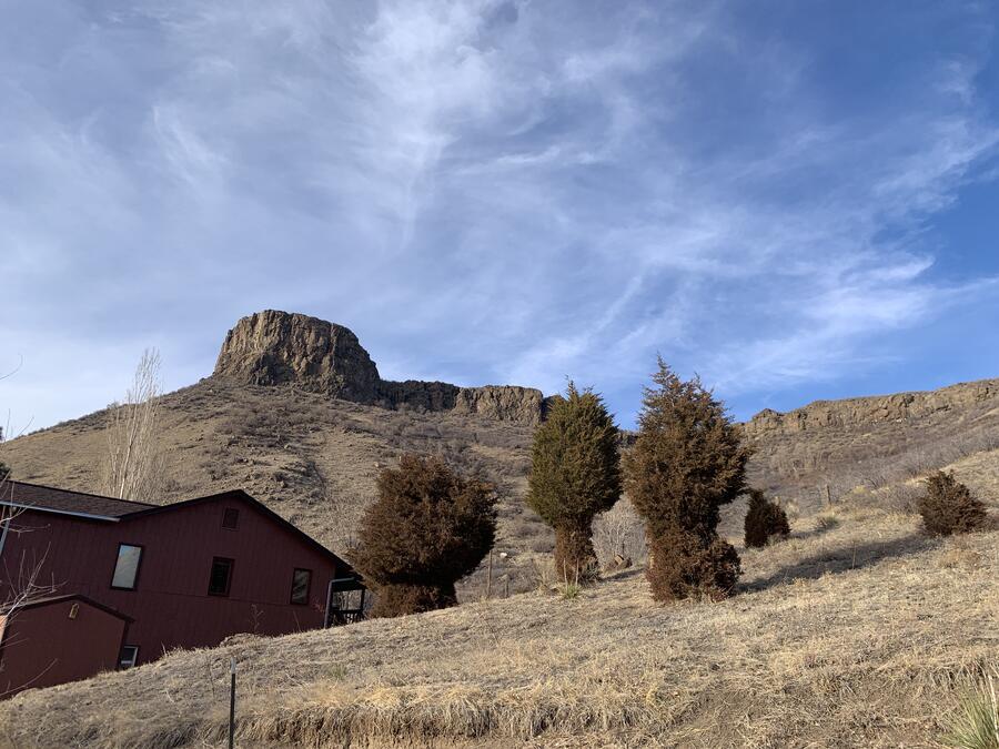
Once you get to the top, you can go right and join up with the main trail that leads back to the Golden Hills trailhead. But I recommend going left and heading to Castle Rock, where you can enjoy the one of the best views in Golden. Just be careful when you get to the edge.
The Applewood entrance
No one except locals know about this entrance, and even most locals don’t. But the easiest way to get there is following these directions, taking great care to park in allowed areas. That means not that close to the trailhead. But with this extra effort, you’ll be rewarded with a trail that very few trek upon. You’ll also see more of Denver in the distance, as well the Flatiron Mountains in Boulder toward the north.
One warning: you won’t have access to the rest of the mountain from this entry point, because you’d have to cross NREL land. You might get away with it, but I wouldn’t recommend doing this.
If you come to Golden and hike South Table, going on either of the first two trailheads is easier to access. If you happen to be in the Applewood neighborhood, ask the locals on how to get there.