For the years I lived in Watsonville, California, I never knew about the state park called The Forest at Nisene Marks, even though it was just ten minutes up Highway 1. The first time I did was a notorious introduction.
An earthquake landmark
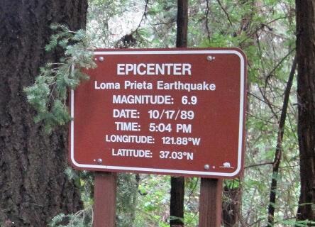
In October 1989, the Loma Prieta earthquake rocked the Bay Area, causing extensive structural damage in San Francisco, Oakland and other cities and dozens of fatalities. Its magnitude on the Richter scale was nearly 7. It stopped the World Series (strangely enough between those two rival cities’ teams, the Giants and the A’s) at old Candlestick Park for the first game and for more than a week afterward.
But the epicenter was closer to my parents’ home, and I was visiting when it happened. Why is it called the Loma Prieta quake? The namesake peak is right here at Nisene Marks. Not surprisingly, the San Andreas fault along with two other minor faults run around and through the park and along its edges.
A few years after the quake, while I still lived in southern California, I visited Nisene Marks for the first time to try and find the Loma Prieta epicenter. But I wasn’t successful in my attempt. There was nothing to indicate where it was. Also, I didn’t realize how large the park was, even as I stuck to the two-mile main dirt fire road into the park. It turns out that the landmark for the epicenter wasn’t established until long after I wanted to seek it out (like the sign above shows now).
From the redwood forests
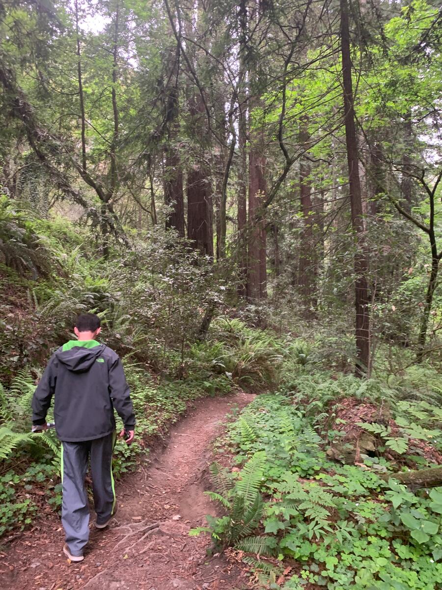
If you just visited here and only did this one small section of Nisene Marks, this is probably just one-tenth of the entire place, but there is a reason why I’ve just stayed here. When I’m in town this is my preferred running route because I love the coolness of the forest and the relative tranquility of the park, even with the occasional car that drives by. I’ve also been a little afraid that I would get lost among the redwoods, even with a map of well-marked trails.
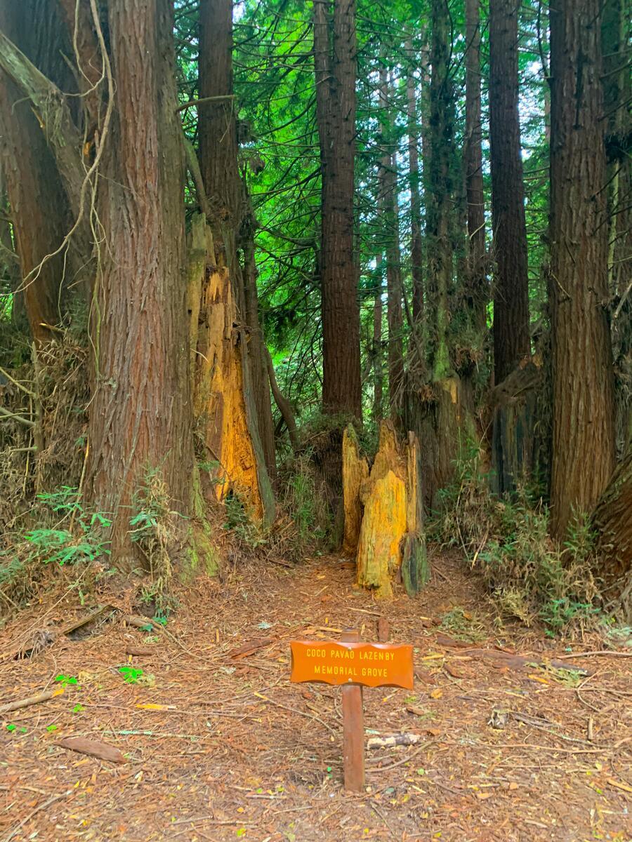
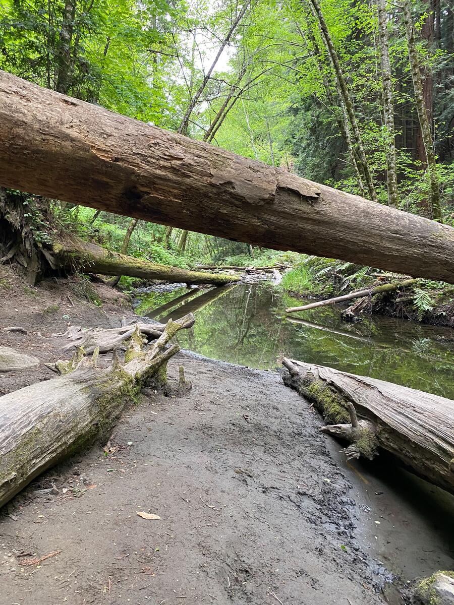
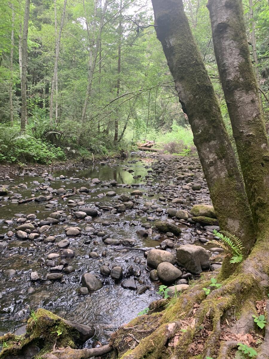
But as you can see from these photos, RAS and I did go off the road and onto the trails…and I’m so glad we did.
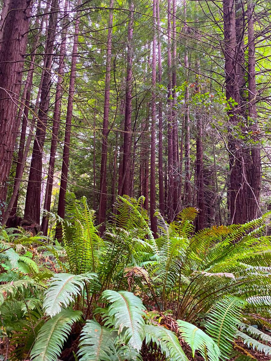
Nisene Marks does not have the largest examples of coast redwoods in the state. That distinction belongs to Muir Woods in Marin County and Avenue of the Giants near Humboldt County. Nonetheless, you’ll get a solid idea of how old redwoods have earned their grand reputation, just by glancing around them and upward at their skyward height. Here are some of our photos:
Some park history
Native Americans, Mexicans and loggers have all played a role in the park’s history. Yet with the arrival of the Southern Pacific Railway, the logging industry significantly grew with the establishment of the Loma Prieta Mill along with the small town that sprung up around it. The 1906 San Francisco quake, with its massive landsides, temporarily stopped the mill operations. They then continued a few years later until 1924, when the mill was demolished.
About 40 years later, the current owners of the land, the Marks family, deeded their 9000+ acres to California to be used as a public park and for its forests to be restored, not just with redwood seedlings but eucalyptus. The family is also where it got its name – Nisene Marks was the family matriarch. Today as a state park, its main purpose is a nature preserve and for visitors’ responsible enjoyment.
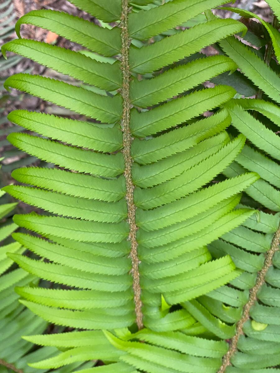
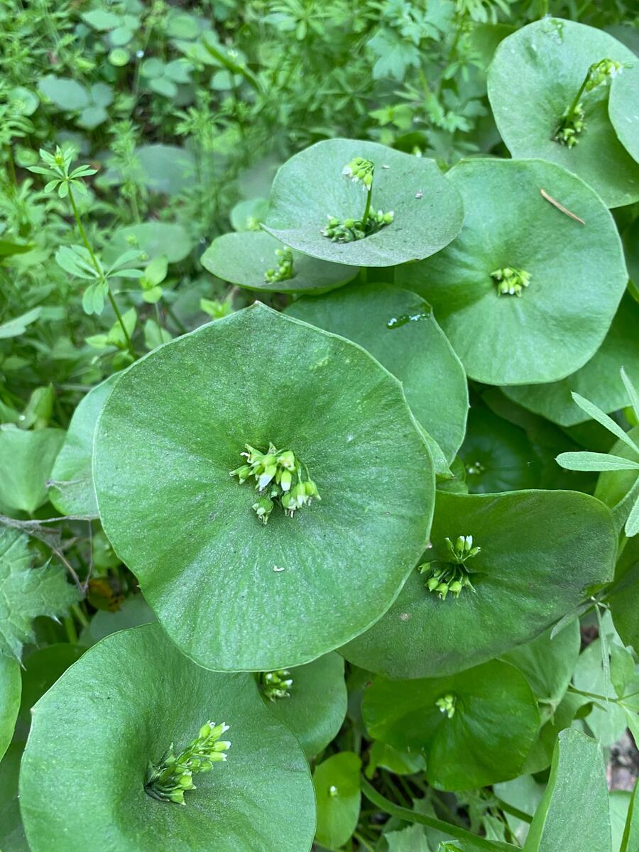
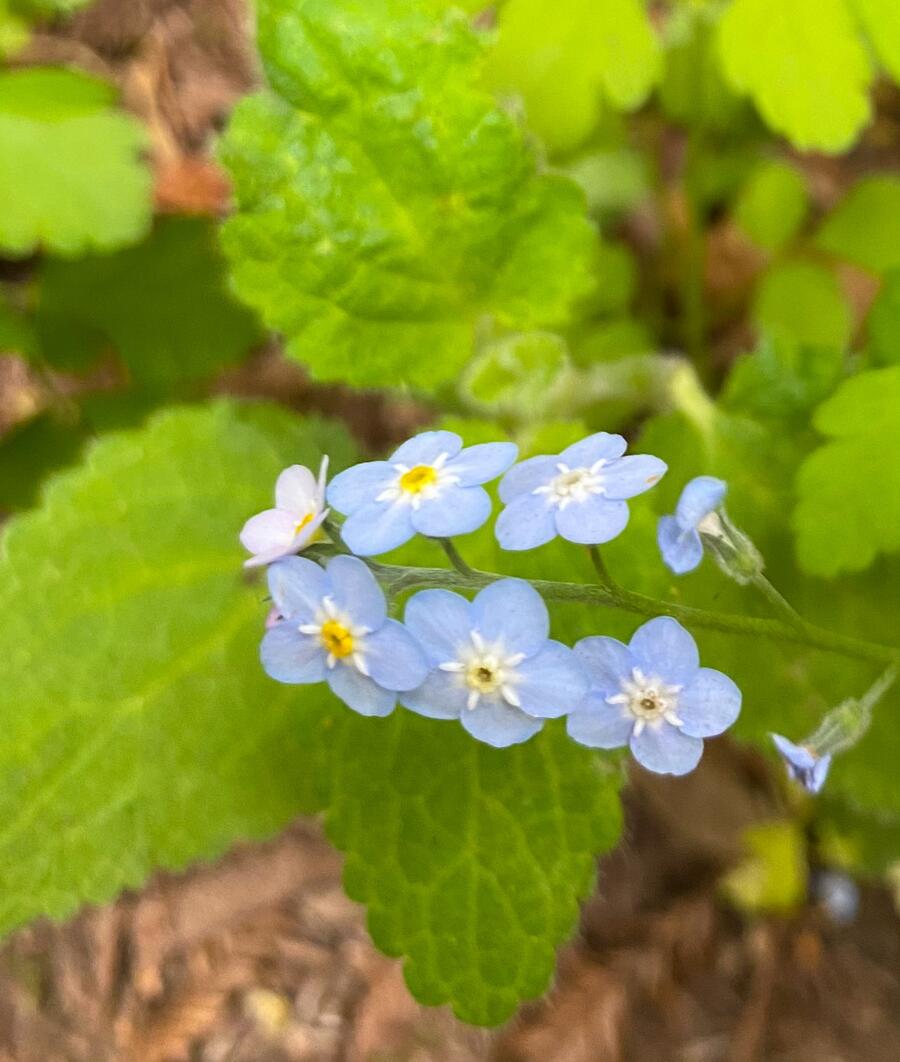
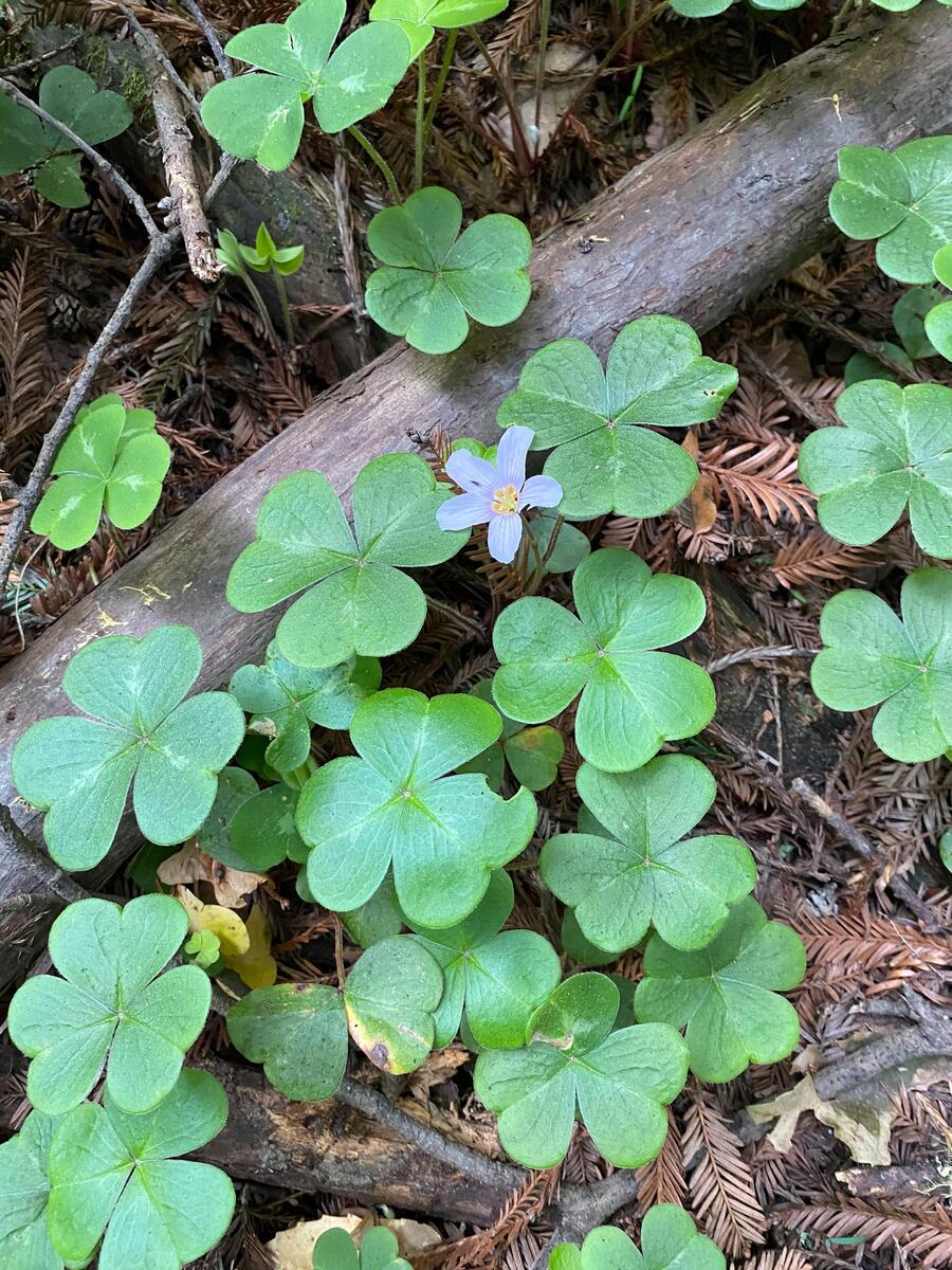
On our visit here, RAS took some pictures of the flora that grows around the trees:
At some point, I (and probably RAS) will go further into its 30 miles of trails, which cover 10,000 acres with endless groves of redwoods, grassland, chaparral and scrub. I’m not sure if I’ll get to trek on all of it trails, but I’ll certainly try.